We enjoyed our cycling in Bend, Oregon, so much yesterday that we decided we would get up early and get a nice ride in before we pack up and leave for Maryhill, Washington, on the Columbia River. It is a very chilly morning, but sunny and clear, so we add an extra layer of clothes and ride out of Tumalo State Park. About a half mile into the ride we reach our first significant incline, and the stillness of this beautiful morning is shattered by expletives...from Michael! It seems his derailleur has decided to stop working, and he has stalled on the hill while trying furiously to shift to a lower gear.
After several more attempts it is obvious that this ride is not going to happen right now, so we head back to the camp site. Michael tries to fix his bicycle, but can't get it to work, so we hop on the cell phone to find a local shop that can fix the bike. We find one and decide to take the bike in right away so that we can get it fixed before we head out to Maryhill - where we also plan to do some riding.
Thank goodness for the nice folks at Sunnyside Sports who were willing to work on Michael's wounded bike right away...


We return to the camp site, pack up and hit the road...We get a chance to see the high desert landscape


Yes, right here on the edge of the highway, on a little rise above the high desert plain, someone installed a semicircular concrete foundation with metal plates and arrows pointing at each peak and identifying it. Here's how it works...

Find the mountain name, then follow the arrow...and voila, now you know which mountain that is...!

And so on...

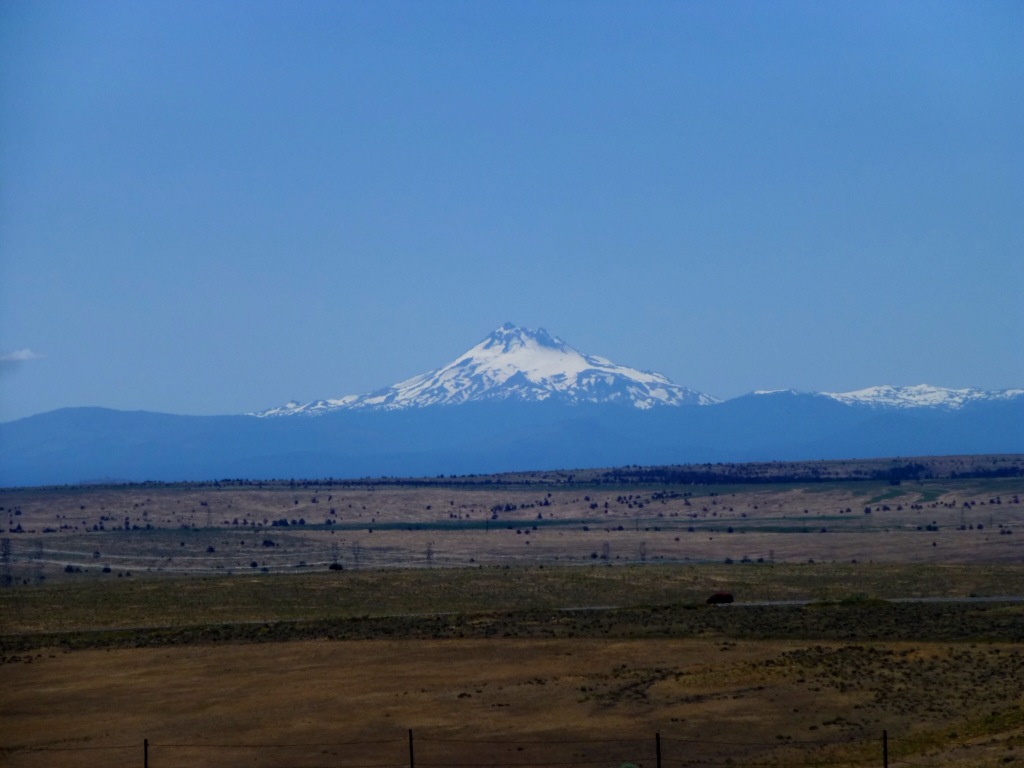


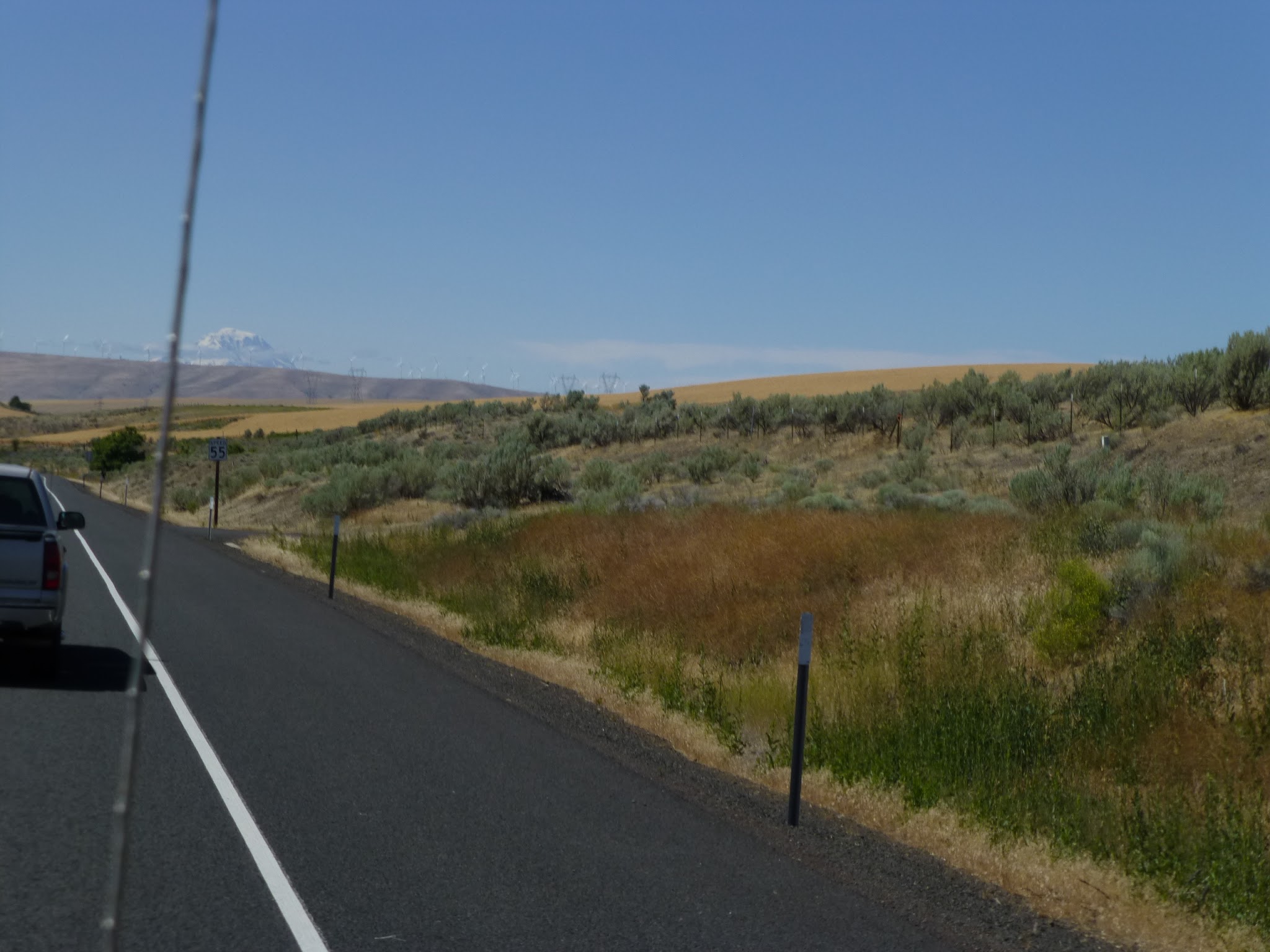
Our drive takes us through more of the arid high plains...

Out here, the wind is pretty strong and pretty constant (there's nothing to stop it!) so this is becoming "wind turbine alley"...we used to think they were interesting, but when you see hundreds all stacked up on the horizon...well, it's a little ugly...don't get us wrong, we're all for alternative energy, but this is becoming an eyesore...


The Columbia River gets strong steady winds racing through the river gorge, so it attracts wind surfers and kite boarders...the wind is up this afternoon, so we watch some of the kiteboarding...
One of the fun things we do in campgrounds is walk around and check out the other RVs and camping setups...we love it when we see retro rigs...like this truck and camper trailer duo painted to match one another...
No comments:
Post a Comment